
Flood-Resilient Road Construction: Lessons from the Sulur Flood
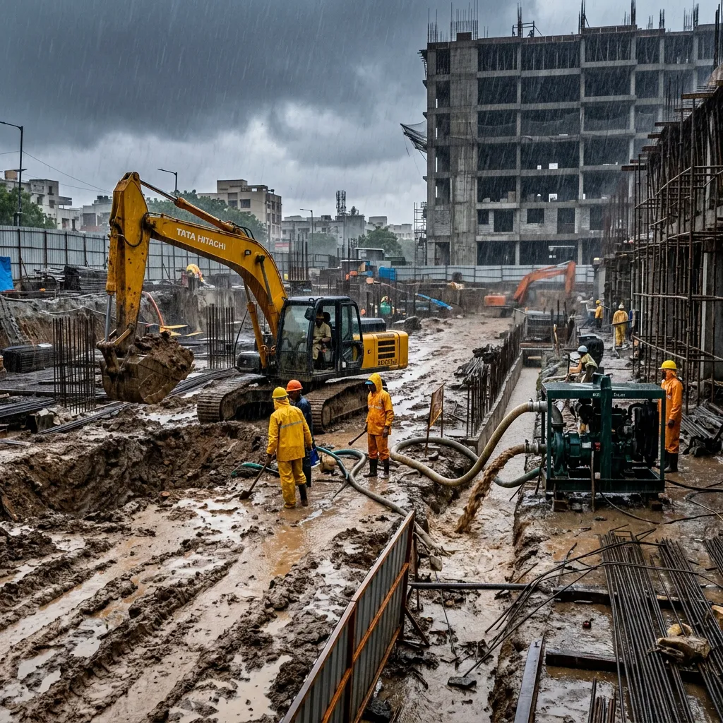
Flood-resilient road construction in Coimbatore starts below the wearing course, not above it: raised formation levels, upsized culverts, and stabilised shoulders matter more to a stretch's survival than the asphalt mix on top. That is the core lesson we carried out of the Sulur flood, where a saturated subgrade did more structural damage to nearby roads than the standing water itself. This piece sets out the specific design and construction changes we now build into any road package on flood-prone ground in and around Sulur.
1 · What the Sulur Flood Exposed About Subgrade Vulnerability
Once floodwater sits against a formation for an extended period, it doesn't stay at the surface — it migrates laterally through the shoulder and into the subgrade beneath the pavement edge, which is exactly what we saw on several low-lying stretches during the Sulur event. A subgrade that loses moisture equilibrium loses bearing capacity with it; California Bearing Ratio values measured on saturated samples routinely come in at a fraction of the design CBR used for the pavement's original structural number, and that shortfall shows up as edge cracking, rutting, and eventually pothole formation once traffic resumes.
A second factor made this worse on pockets of ground around Sulur with expansive clay content: soil that swells on wetting and then shrinks again on drying opens fine cracks in the base course that widen with every monsoon cycle, a mechanism we've documented in detail in our note on why black cotton soil ruins PWD roads. The combination of poor lateral drainage and expansive subgrade is what turned a heavy rainfall event into a pavement failure rather than a routine wet-weather inconvenience, and it's the specific failure mode our post-flood design changes now target directly.
2 · Raising Formation Level and Camber Design for Flood-Prone Stretches
IRC guidance for rural and district roads recommends a minimum freeboard between the formation level and the highest flood level or highest water table recorded for the stretch, and on chainages we've reworked near Sulur we now design to the upper end of that range rather than the minimum, using local high-water marks and drainage records rather than assumed values. Raising the formation is done in controlled layers of select fill soil, each compacted to at least 97% of Modified Proctor maximum dry density per IS 2720, so the embankment itself doesn't become the next weak point in the system.
Camber design gets tightened alongside the formation lift. Where a standard parabolic camber of roughly 2.5% sheds normal monsoon rainfall adequately, we now specify a steeper camber, closer to 3%, on identified flood-prone chainages so that surface water clears the carriageway faster and spends less time in contact with the pavement edge. Combined with a raised formation, this reduces the window during which floodwater can pond against the shoulder and begin migrating into the subgrade, which was the specific failure sequence we traced back from the Sulur damage.
"A subgrade that loses moisture equilibrium loses bearing capacity with it — that's the failure mode our post-flood design changes now target directly."
3 · Culvert Capacity Upsizing After Extreme Rainfall Events
Cross-drainage structures are sized against a design storm with an assumed return period, and several culverts along affected stretches near Sulur were originally sized for rainfall intensities that the flood event exceeded by a wide margin. Our review process now recalculates catchment area and peak discharge for each crossing using current rainfall intensity-duration-frequency data rather than the figures used at original design, and where the computed waterway opening exceeds the existing structure's capacity, we upsize rather than patch around the shortfall.
In practice this has meant replacing undersized pipe culverts, in several cases stepping up from 900mm to 1200mm RCC Hume pipes, and adding scour aprons and cut-off walls at the inlet and outlet to prevent the embankment toe from washing out under high-velocity flow. We also install silt traps upstream of critical culverts on stretches carrying agricultural runoff, since a partially silted culvert loses effective capacity long before it visibly blocks, which is a maintenance failure mode that compounds a genuine hydraulic undersizing problem.
4 · Erosion-Resistant Shoulder and Side-Slope Treatments
Earthen shoulders that look adequate in dry weather are frequently the first element to fail under sustained flow, because unprotected soil offers almost no resistance to the shear stress of moving water once it overtops the drain. On flood-prone stretches we now specify granular shoulder material compacted to the same density standard as the subgrade beneath it, paired with stone pitching or dry rubble packing on embankment side slopes above a defined height, which resists the scouring action that otherwise undercuts the pavement edge from below.
Where slopes are lower and full stone pitching isn't warranted, we use toe walls at the embankment base combined with coir geotextile matting to establish turf cover quickly, since bare soil left exposed through even one monsoon season erodes faster than grass roots can bind it. Side drains on these stretches also get graded check structures at intervals to reduce flow velocity before it reaches culvert inlets, spreading the hydraulic load across several smaller drops instead of concentrating erosive energy at a single point.
5 · Post-Flood Pavement Assessment and Rapid Repair Protocols
Once floodwater recedes, our first action is a structured visual crack and rutting survey across the affected length, followed by Benkelman beam deflection testing at representative points to check whether the pavement's residual structural strength still supports design traffic loading or whether it has degraded enough to warrant strengthening rather than simple resurfacing. Where bituminous layers show visible stripping or moisture-related loss of aggregate bond, we take core samples to confirm whether water has penetrated into the base course, because a surface that looks intact can still be structurally compromised underneath.
Our rapid repair protocol targets pothole and edge-break patching with hot-mix asphalt within 48 hours of a stretch being passable, using tack coat correctly to bond new material to the exposed edge rather than simply filling the void. Where damage is deep enough that patching won't hold, we schedule full-depth reclamation of that section while keeping traffic moving on a temporary graded gravel surface, which is the same principle behind the checklist we followed during the 36-hour emergency response at Sulur itself: keep the corridor open first, then execute the permanent fix on a planned schedule rather than under emergency pressure.
Operational Summary & Takeaways
Flood-resilient road construction around Sulur and the wider Coimbatore basin is now a standard design consideration for us, not a special case we apply only after damage occurs — raised formation levels, upsized culverts, protected shoulders, and a structured post-flood assessment protocol are built into any stretch we identify as flood-prone from the outset. As a licensed PWD Class-I civil contractor and First Class NHAI road contractor serving Coimbatore, Tiruppur, Erode, Salem, and the wider Kongu region, we bring this same standard to road construction and resurfacing work across our districts. If you're planning a road package on ground with a known flood history, talk to our engineering team before formation levels are finalised.